
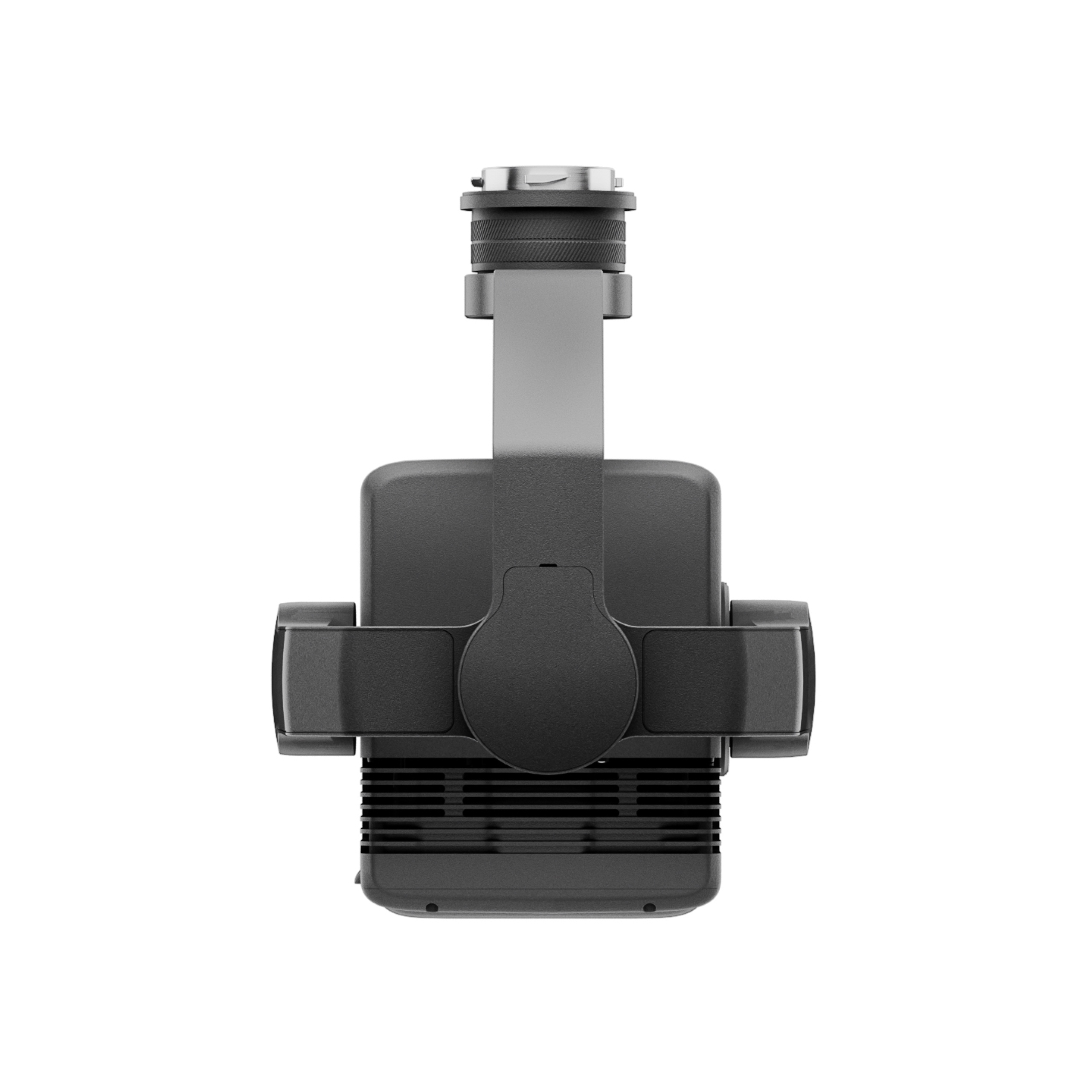
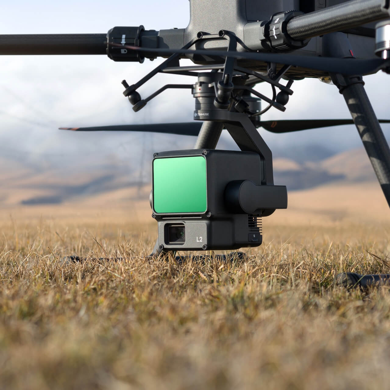
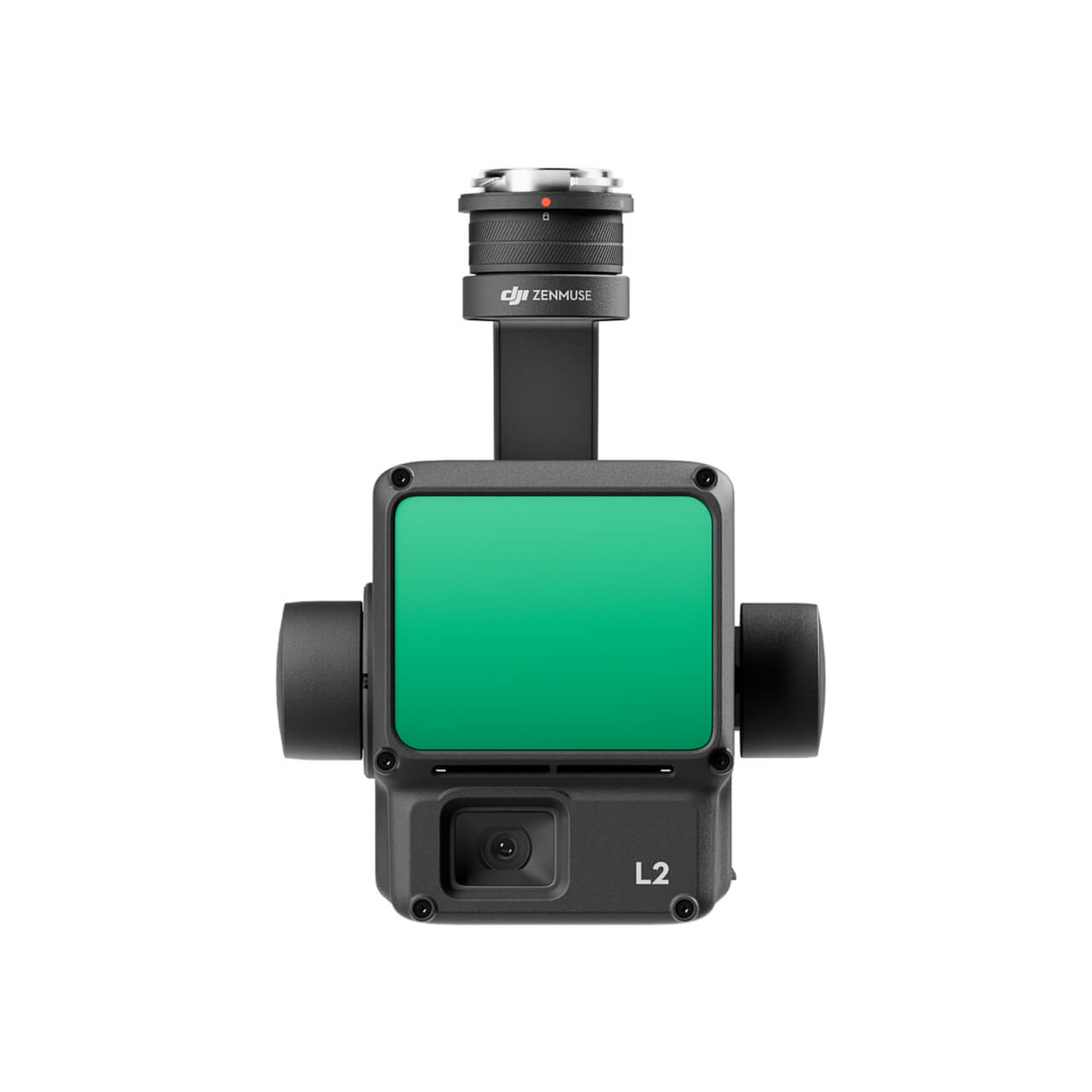
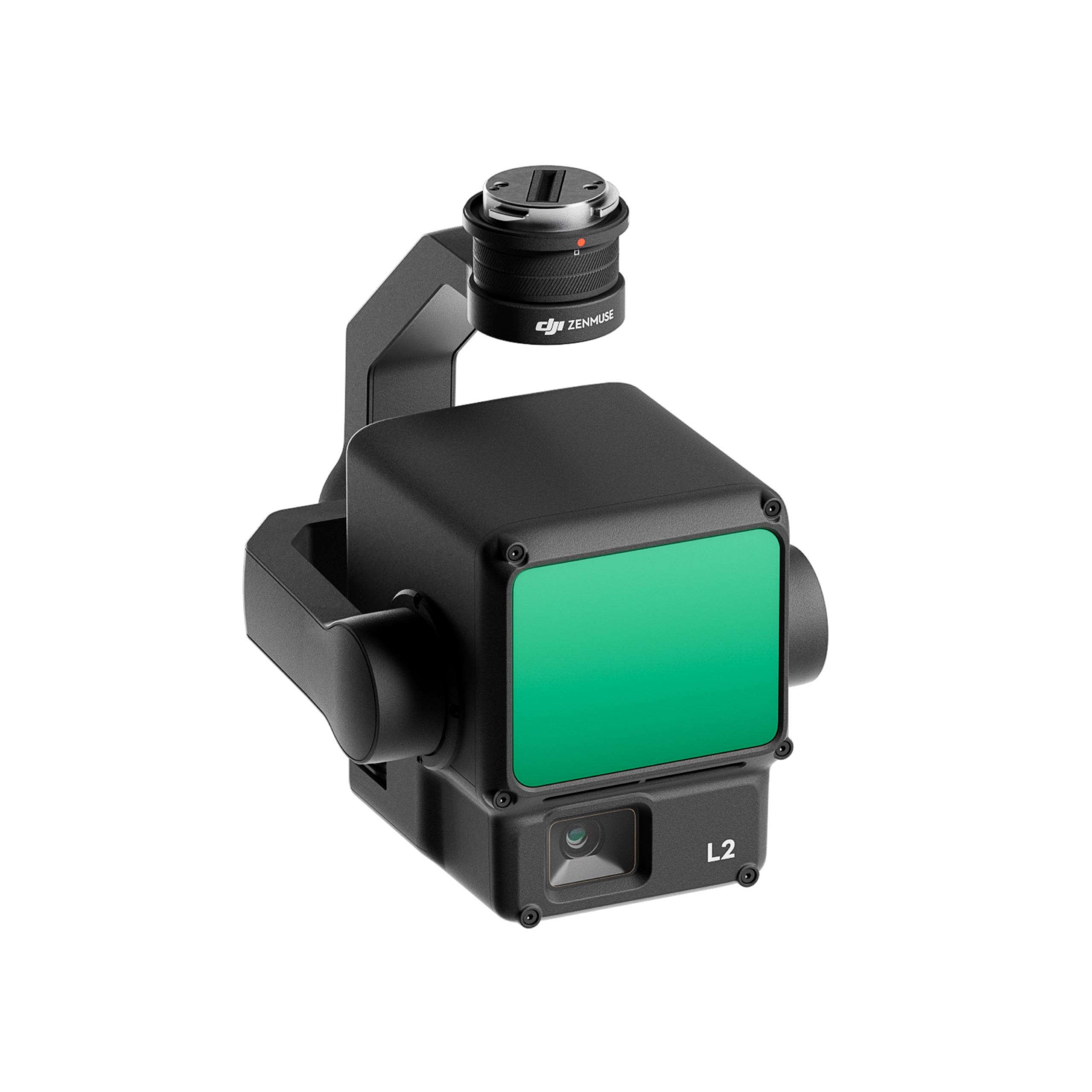
Zenmuse L2 Worry-Free Plus Combo
£13,862.50
- VAT free purchase available at checkout.
- BrandDJI
Description
Article no.: 4943
Zenmuse L2 Worry-Free Plus Combo
Zenmuse L2 integrates ram LiDAR, a proprietary high-precision IMU system, and a 4/3 CMOS RGB mapping camera, providing DJI aerial platforms with more accurate, efficient and reliable geospatial data collection. When used with DJI Terra, it delivers a turnkey solution for 3D data collection and high-accuracy post-processing. Backed by its powerful hardware, L2 can enable accurate scanning of complex subjects within an extended area and faster collection of point clouds. During operation, users can preview, playback and process point cloud models on-site, with task quality reports generated by DJI Terra, offering a simple, one-stop solution to improve overall efficiency. This enables users to achieve high precision point clouds with a single post-processing operation.
Features:
The L2 can detect from 250 meters at 10% reflectivity and 100 klx,[3] and up to 450 meters at 50% reflectivity and 0 klx.[3] The typical operational height now extends up to 120 meters, which notably improves operational reliability and efficiency.
With a reduced patch size of 4×12 cm @100m, only one fifth of that of L1, L2 not only detects smaller objects with more detail, but can also penetrate denser vegetation and generate more accurate digital elevation models (DEMs).
In dense areas, the L2 can capture more ground points below the foliage.
In both single and multiple return modes, the L2 can reach a maximum point cloud release rate of 240,000 points per second, enabling the collection of more point cloud data in a given time frame.
L2 supports two scanning modes, offering flexibility to users based on their task requirements. In the repetitive scanning mode, L2's LiDAR can achieve more uniform and accurate point clouds while meeting the requirements of high-precision mapping. In the non-repetitive scan mode, it offers deeper penetration for more structural information, making it suitable for power line inspection, forest surveying and other scenarios.
The frame-based design results in an effective point cloud data rate of up to 100%. Together with a three-axis gimbal, it provides more possibilities for survey scenarios.
High precision IMU system:
Improved accuracy
The self-developed high-precision IMU system, combined with the drone's RTK positioning system for data fusion during post-processing, gives L2 access to highly accurate absolute position, velocity and attitude information. In addition, the improved environmental adaptability of the IMU system improves the reliability and precision of the L2.
Gray precision [6]
Real-time: 0.2°, post-processing: 0.05°
Pitch/Roll Accuracy [6]
Real-time 0.05°, post-processing 0.025°
No IMU warm-up:
The performance of the IMU system has been greatly improved, and it is ready to use when it is turned on. And the accompanying drone is ready to start tasks immediately when RTK is in FIX status, providing an optimized experience in the field.
RGB mapping camera
4/3 CMOS, mechanical shutter:
Pixel size has been enlarged to 3.3 μm, and effective pixels now reach 20 MP, resulting in a significant improvement in overall image reproduction, as well as more enriched point cloud detail in true colors. The minimum photo interval has been reduced to 0.7 seconds. The mapping camera has a shutter count of up to 200,000 times, further reducing operational costs. When point cloud collection is not needed, the RGB camera can still take photos and film, or collect images for visible light mapping.